World Space Week-2024: Weather Satellites
10 October

How often do you check the weather forecast when planning your day or vacation?
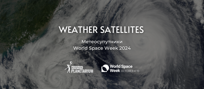
Weather satellites have been helping mankind monitor humidity and temperature from space for more than 50 years. Modern weather satellites take observations to a new level, helping not only to make more accurate weather forecasts, but also to study climate processes and changes on our planet in detail.
Types of weather satellites
There are two main types of meteorological satellites. The first of them constantly investigate one area of Earth above which they are located, because their motion is synchronized with the movement of the planet. They are positioned above the equator at an altitude of 35880 km. Their main task is to monitor rapid changes in the atmosphere in real time.
The motion of the other type of satellites is synchronized with the Sun. Their orbit lies above the Earth's poles at an altitude of 880 km. This allows them to transmit more detailed photos. Such satellites cover the entire globe, but they can see each point only twice a day.
What Weather Satellites Can Do
Weather satellites don't just improve our lives by telling us when it's a good time to grab an umbrella or a warm sweater. They can also save lives.
The information they collect helps predict natural disasters and warn people in at-risk regions. This gives them valuable time to react.
Satellites monitor ice cover and ocean currents, the state of the ozone layer, and air pollution. They spot sandstorms, volcanic dust and fires in remote areas much faster than humans do. They detect thunderstorms in the early stages of formation and help pilots choose safe routes.
The Future of Weather Satellites
Mankind is constantly working to improve satellite observation technologies. For example, the European meteorological satellite agency EUMETSAT is currently deploying an advanced constellation of three satellites that complement and reinforce each other. These include two imager-type satellites operating in 16 channels of the visible and infrared spectrum. They scan the globe every 10 minutes and Europe every 150 seconds. The third satellite is a probe with a high-speed lightning detector and an air quality sensor that transmits a three-dimensional image of the atmosphere. The constellation is expected to collect 50 times more information than previous generations of satellites and will be fully operational in 2026.

Planetarium Noosphere celebrates fourth anniversary of innovation and achievements
In four years, Planetarium Noosphere has become one of the most innovative and popular science and education centers in Ukraine. Having opened its doo...

The Development of the Fulldome Film Industry in Ukraine: The Mission of Planetarium Noosphere
Planetarium Noosphere is the only planetarium in Ukraine that produces bilingual educational and scientific fulldome films and animated films in Ukrai...

Space retreat: a mental health recovery practice under the dome for internally displaced people in Ukraine
Since the beginning of the full-scale invasion in Ukraine, Planetarium Noosphere has launched free space retreat sessions, a social initiative aimed t...